Thursday March 29, 2018 Round Valley on highway 395 CA. above Bishop
North on highway 395
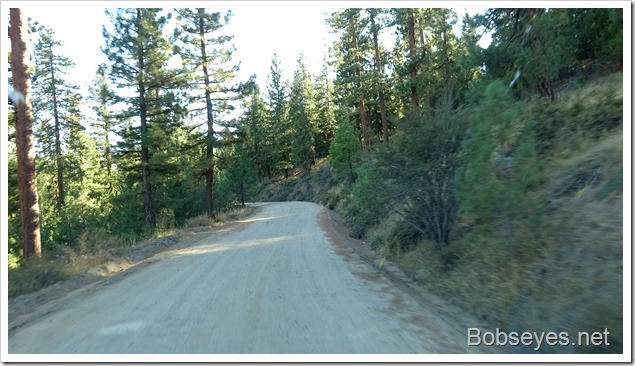
I’m leaving the camp area I was in when I cut the corner of highway 395 and 58.
I left camp and headed down this road which looked like the right one.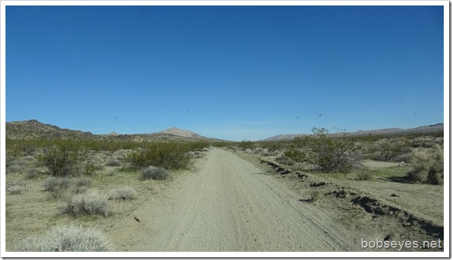
Well taken care of
I noticed this flag flying just off the road so I drove over to see what it was all about.
Seems David crashed his jet here in 2009 and his friends are remembering him.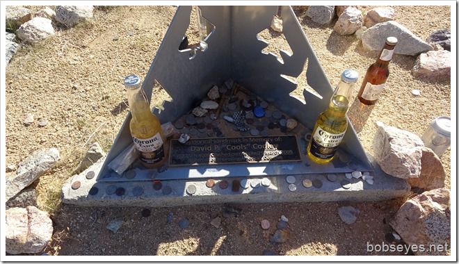
Signs aren’t very helpful
The many roads out here are well marked, however the names of the roads are numbers of the BLM which I don’t have a map for, so I don’t really know where I’m going, but I’m sorta following my GPS map.
However the GPS was repeating Off Route, turn around for some reason. Sometimes this just means there has been a detour so I kept going for about two miles before I turned around and hunted for the right road with the GPS.
This is the road I got off on my mistake.
This is the road I should have been on as it leads out of here back to 395.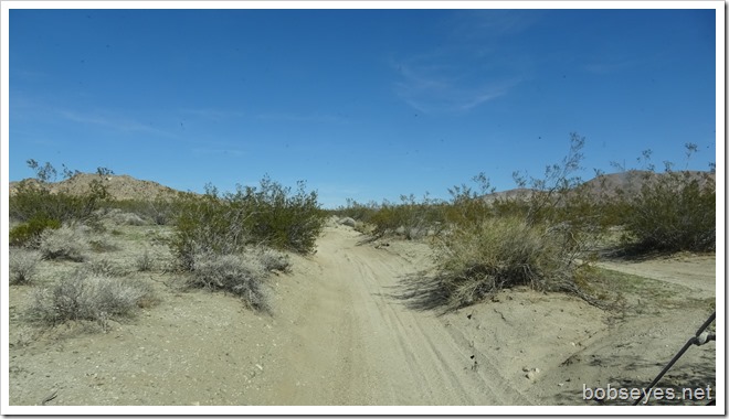
The map with the numbers
I didn’t really know where I was until I got to this information booth. On the back was a map showing all the roads with all the road numbers so now I had a chance.
It took me over three hours to do the twenty miles out of there and the other four also when I got side tracked. A very bumpy road.
But finally I was back on highway 395 going north.
Finding a camp spot
Lots of snow up on the mountains. I’ll be looking for a camp off to the right by the big power lines as there is BLM land there. This is just above Bishop, a place called Round Valley.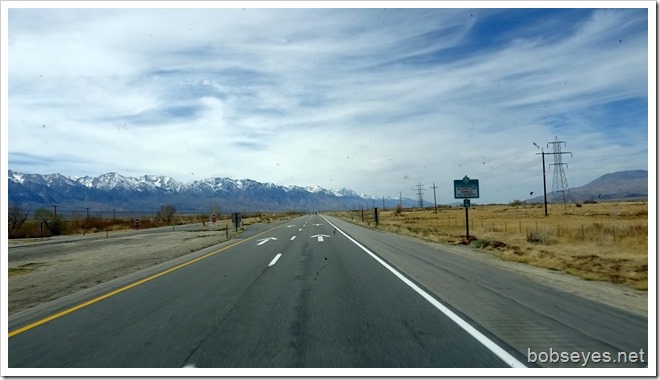
I’m not far off of highway 395 this time. Here is my camp spot for the night.
About a 100 yards to the rear of the van is the Owens River. This is called the Gorge.
I have about another hour to make it to Mono Lake which I will get to tomorrow morning once I get it going.
That’s it for another day of traveling.
Posted from Hawthorne Nevada


