Saturday September 23, 2023 Near Maggie’s Summit Nevada
Cold one
It got down to about thirty or so last night so I reached over and got the heater going before getting out of bed this morning.
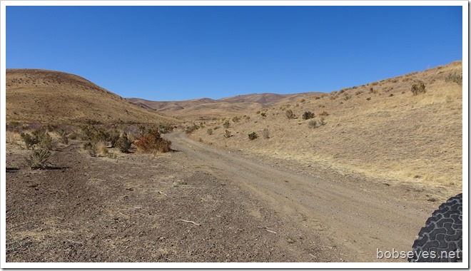
Once I got it going I headed out down this nice dirt and gravel road. It was easy going with very little wash-board. I had about 30 miles to go until I reached a paved road, 226.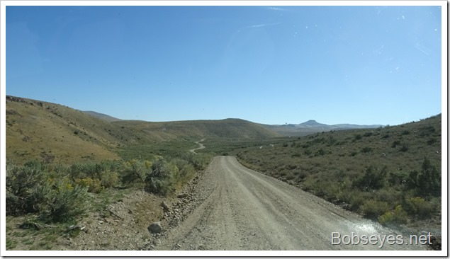
The road got even better as I got close to the highway, just up ahead. This is the end of the Midas to Tuscarora road I’ve been traveling on for the last couple of days.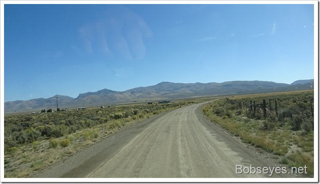
No Bubba
Once I made it onto highway 226, I went the short distance to where Bubba was supposed to be, at least he was a couple years or so ago when he helped me fix a flat tire.
But today, the place was closed down. The owner of the bar and the place, was on air at that time and Bubba just helped him out with stuff. This is Taylorville, I think it was called.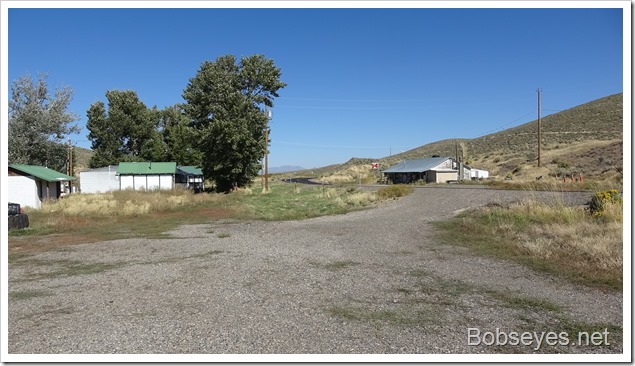
Heading North
I turned around and headed north on 226 checking my cell phone often hoping to pick up some cell service.
I got a signal here out in the middle of nowhere, so pulled into the first spot I found, which was here and did my internet stuff, like email and posting a couple of blogs.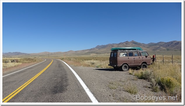
I stopped here at the end of highway 226 where the road turned into a Y. Either way will get you to the Duck Valley Indian Reservation. I took the road to the right which is dirt and gravel and more scenic and I knew of a camp spot on it. The Indian Reservation town is called Owyhee, after some old time trappers from the island that got lost here and were never seen again many years ago.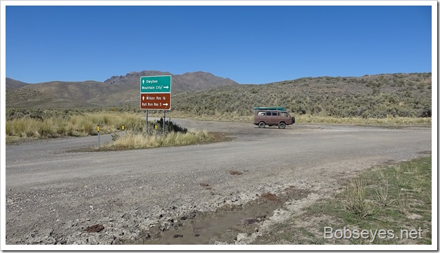
Old Corral
I stopped here for a break and to check this old corral out a bit.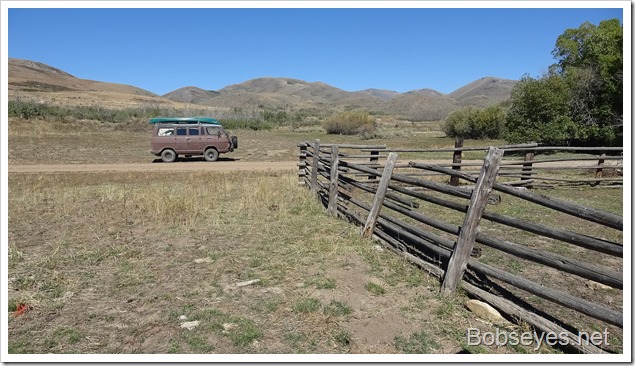
It looked like it used to be used a lot, but not for some time now.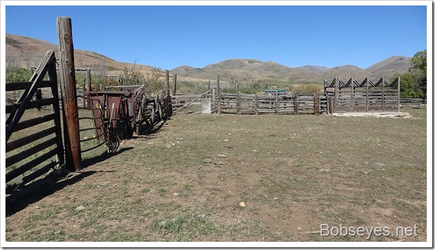
Squeezer
This contraption is a cow squeezer and this one looks like it was used a lot. It’s used when you need to do stuff to the animal. The cows don’t like to be squeezed much. Can’t say I blame them.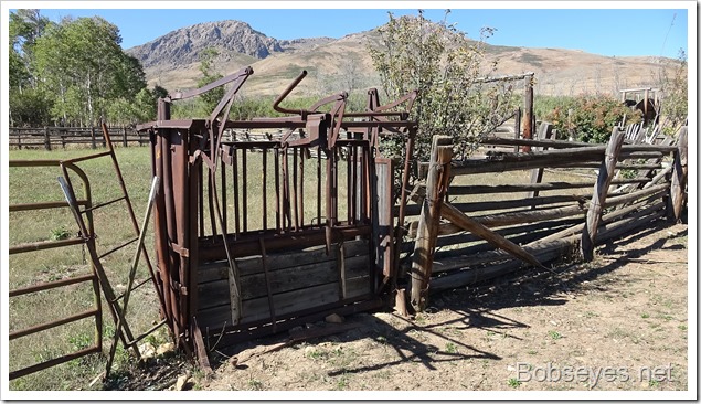
Bull Run Reservoir
I stopped for lunch here at the Bull Run Reservoir trailhead. I’ve hiked to it before, but not today.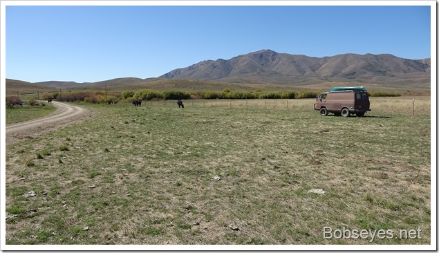
The reservoir is through that gate and on up into the foothills, a couple miles or so.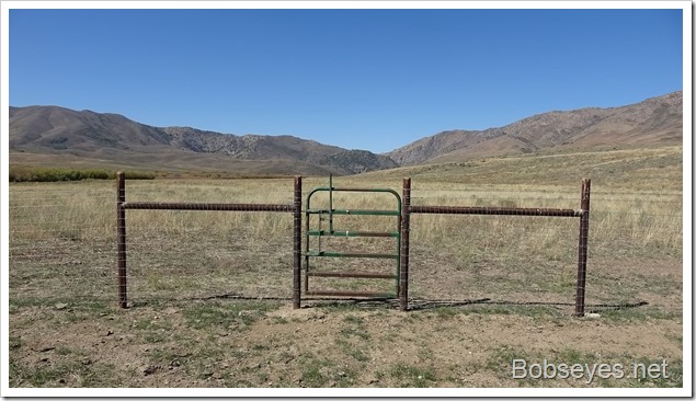
Back on the road, I’m now starting to get into some aspens. It’s starting to get cold enough to start turning the leaves yellow.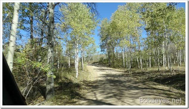
Camp
Just past the aspens, I turned off the road to the left and found a camp spot here, for the night.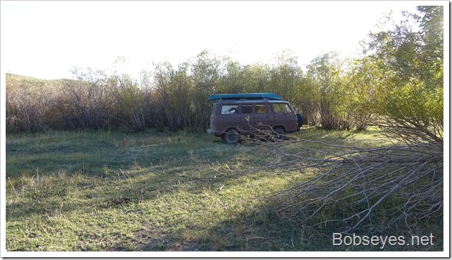
Walk
There’s a creek that goes through all these trees so I went for a short walk to check out the beaver action. I didn’t see any beaver but they had the water backed up in places.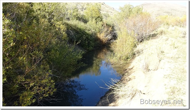
The beaver are starting to spread the creek out a lot in this part.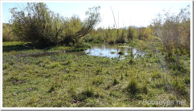
Plans
I plan to head up the road about an hour to the Indian Reservation. I hope to do some visiting and get gas and use the internet at the computer lab at the high school. Then I hope to spend a week or so in the area checking stuff out and having fun and enjoying myself. All that back road traveling was to get to this area which I’ve been in some of it before, but there’s lots of new territory to explore that I haven’t been into yet.
Nice day.


What a great little trip. Being alone isn’t for me, especially traveling but i know you love it and find some special places. Enjoy!
Wish I was right behind you in my own van!
What fun. Thanks for taking us along, Bob.
No squeeze please. Nice to see the Aspen colors and water. I had pretty good luck with cell service in much of Nevada.