Friday July 19, 2013 Near Bucks Lake, CA.
Today was the day, get up and get going. I checked the van tires for air pressure, cleaned the windows and packed a few last minute things and I was ready to go, just before eleven in the morning.
Ok, though Calistoga, Middle Town, Williams, headed for Colusa. It was warm. I got lost in Colusa following my GPS. I was trying to go the old way I knew and it was taking me other ways.
There is a setting in GPS software where you can set how you want it to select the roads it puts you on. The settings are fastest route, shortest route, trail, something like that. When you find it’s taking you on back roads instead of the though faster type, it usually means it’s set to shortest route, which can be interesting. This setting also results in more locked gates and blocked roads.
Anyway, I had it set to shortest and so I tried some new roads out and also had to turn around a few times, but hey, isn’t that exploring?
So, I headed to Oroville and got detoured by the software to highway 162, which took me up in the hills, where I eventually got on Bucks Lake Rd.
This road winds up the mountains fairly steep, low gear was demanded several times. I pulled over for a break at a place called French Creek Road, which I thought was a right turn into it,………….but?
When I returned to the road, I turned right and it was over twenty miles of windy down hill road before I realized the GPS was going the wrong way. The lady likely was trying to warm me, but I can’t hear hear in the van most of the time.
So, turned around and climbed and wound my way back up the hill again.
By this time it was getting late in the day and I was thinking it would be better to find a camp site now before going down to Quincy tomorrow.
If I went down to Quincy tonight, I’d be finding a camp in the dark, most likely.
I’m pulled onto a Forest Rd. about two miles or so from the Bucks lake camp area, in a nice little meadow about a half mile off route 70.
This is the forest service road I pulled off to camp on.
I found this meadow full of some kind of little pink flowers. I had to work to find a flat spot on the edge of it. This is the view looking out my van side doors across the meadow.
Lots of these little pink flowers, with lots of honey bees working them over.
A close up of the little pinkish flowers that carpet this meadow.
This is my van camp for the night. It’s a bit warm here, but cooling down. I had about three mosquitoes about an hour before dark and that was all. So far, so good .

It’s just starting to get dark here. I hope to post this in Quincy tomorrow morning or so.
Had a good day.
Saturday July 20, 2013 Jungo, NV.
Continuing on Eastward
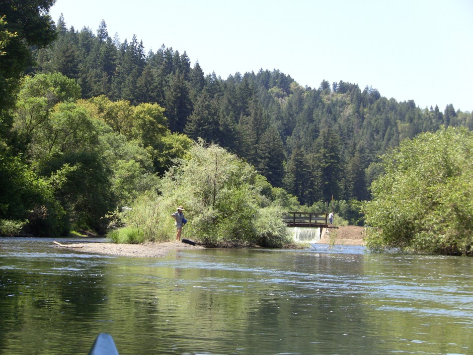
I got up rather early this morning around eight and did my chores and headed down the hill to Bucks Lake where I stopped for a bit to check it out. Way too many people there for me, but it did look like a nice lake.
This is a part of Bucks Lake seen from the road as I passed.
I arrived in Quincy ok, gassed up and was on my way, Highway seventy north to 89 and over the hills. I went though a lot of burned forest, as seen below on the road crossing over to highway 395. Oh, and I forgot to post in Quincy.
When I hit 395 I turned north for just a bit and picked up Smoke Creek Road, which headed east into Nevada. The road was ok, but Smoke Creek Ranch is in there and they controlled most of the land in this area, therefore, most everything going off the sides of the road were blocked, so it was just a lot of driving on through. When the road entered the hills, there was this place to stop along the road by some Cotton wood trees and a little creek.
I rested here and had something to eat too.
One of the desert roads I was traveling east on below.
A ways before getting to Gerlach, Nevada, I spotted three donkeys heading off the road as I approached. Here is one of them. It looks real healthy.
Lots of desert roads that looked like the below picture.
I didn’t want to make it to Gerlach tonight, but when I stopped at a place before it to camp, it was still too warm, so I decided to continue on, knowing the road I was taking past there didn’t have much for camping so I was likely going to have to drive a long ways to find one.
This is road 49 going east just below Gerlach. It’s a good road, I was doing about fifty on it for forty miles to Sulphur, which used to be a town, but is now, just a big sulphur mine.
Road 49 east.

This is the big sulphur mine at Sulphur on road 49.
It was staring to cool down around eight PM, so I took the first dirt road I found which crossed some RR tracks and went on up the hill to a spring tank where I camped for the night
Here’s my camp. I just cooked a steak on my grill and am about to consume it. No bugs here. Great.

When the sun was going down, it lite up the sky. It’s not the greatest camp, but it will do for the night.

A long day driving, but a good one. :O) Next post might be Duck Valley Indian Reservation?

