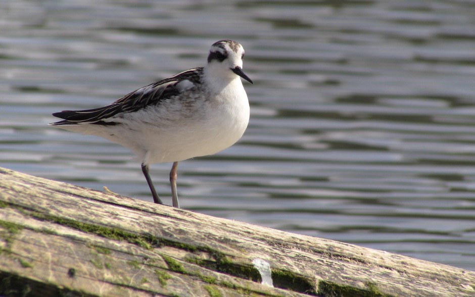
Friday June 23, 2023 Babcock Peak, Plumas National Forest CA.
Look at the Recent Posts thingy in the right
sidebar to catch up on posts as I’m posting 7 or
8 of them tonight.
The plan
We had a plan to do some exploring today. We are making a big circle around our base camp, or at least trying to.
We drove down off the Babcock Peak area this morning on this road, headed out for a days exploring of the forest roads in these parts.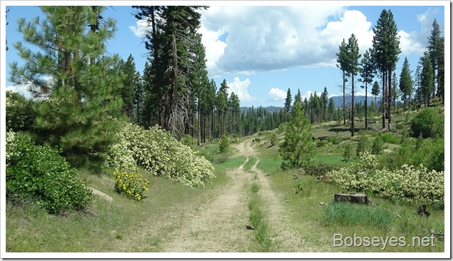
We drove by some nice looking meadows.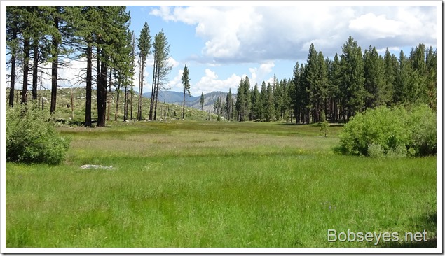
Frasier Cabin
Driving by, we spotted this old cabin so drove in to have a look around.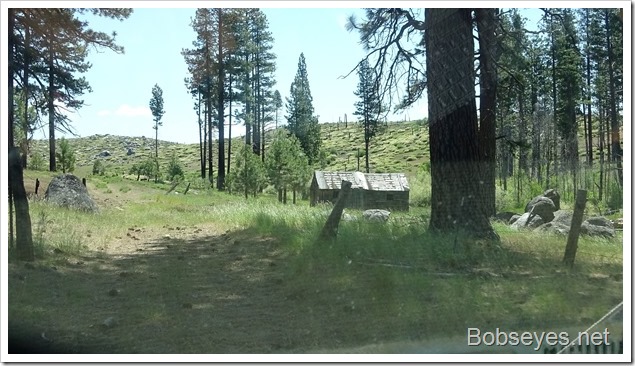
It had a spring and this nice meadow by it. The cabin hadn’t been occupied in a long time.
Marty takes a break on a stump on the way back to our rigs.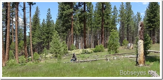
We could see part of Antelope Lake as we drove by on this road. Not going down there today. I’m thinking of putting the kayak in the lake Monday or Tuesday.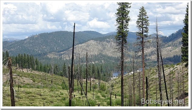
We headed down this road that was in pretty good shape.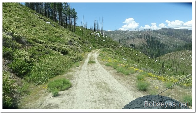
They have big rocks here that sometimes slide onto the road. They are so big they just move them enough to get by.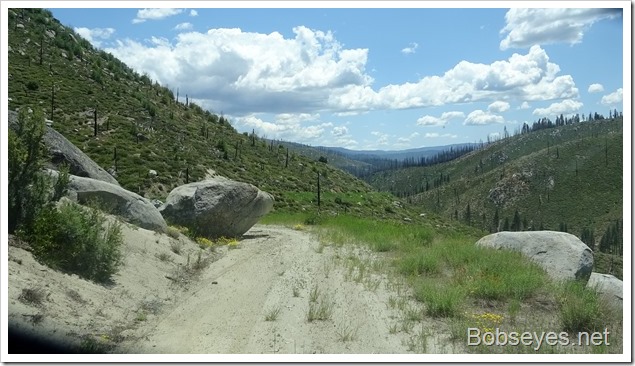
Indian Creek Road
We are headed down there to cross the creek at Babcock crossing,…….But
Road closed
Access to the highway that goes along the creek was closed. They were working on the road and we ran into these signs up by the lake the other day. We thought about going on the road anyway, but in the end, we decided to rethink our route as we were just exploring anyway and there was lots of places we hadn’t been in this area, so anyplace was good for exploring. We turned around.
Another road
There was another road that went up into the hills at the crossing so we headed up that hoping it went through. The forest fire burned stuff pretty good all along the road.
We thought we had it made and were almost to the top when we ran into many burned trees across the road. Someone started to cut some of them but looking up the road there where way too many of them. We turned around to find another route up into the hills.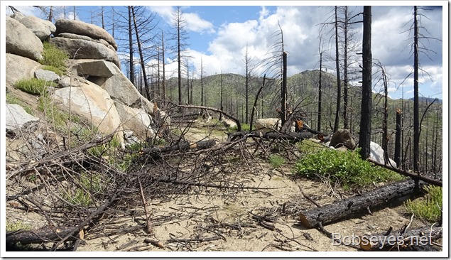
We found the road that went up into the hill tops where we camped last night so drove on up. The road was on the map that connected, but it wasn’t on the ground so we couldn’t get to that spot so continued on up the road looking for a place to get off the road to camp, but there just wasn’t any on most of these roads.
It was almost five PM, so I said enough, find a camp in a pinch or we’ll be looking in the dark. That means we’ll take almost anything. The vans only need a mostly flat spot to park to camp.
Camp spots
This was the only flat along the road we could find that a rig could get by us so we picked it. We only saw one guy in a jeep all day so it wasn’t likely anyone would come by, unless we parked in the road, then they would for sure.
A better spot, much better
There was a turn in the road in front of us so I walked up the road a bit to see what was up ahead and found a better camp spot, so we moved to this spot which was much better than the other spot.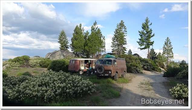
We are on the hill tops, so this was our view from camp. The clouds are forming up for some thunder action.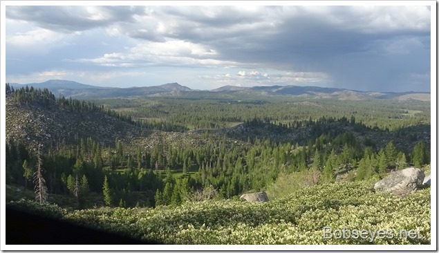
Sunset
The sunset wasn’t too bad from this location.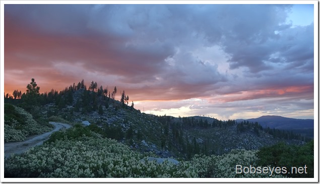
Nice day.
