Monday October 7, 2913 Jenner, CA.
Let’s go for a hike
John was interested in hiking up the hill at Eagle’s landing in Jenner, so Ray, John and I met at Jenner this morning around eleven to kayak over to the area and hike up the hill.
The day was fogless and with very little wind, mostly on the warm side as we put our boats in the water and paddled across to Penny Island, though the little channel on the east end and across to the south side of the river working our way up to Eagle’s landing, about a half mile up the river.
Russian River mouth is still closed
The Russian River’s mouth is still closed up tight and the water level gauge is going up very slowly, less then an inch a day. It’s reading right at 7 feet. At his rate, the mouth will stay closed for a long time, unless the powers that be decide to open it to let the salmon piling up out in the ocean in, so they can go up the river to spawn. It will be interesting to see what they do this year with this situation as they’ve said they wouldn’t open it unless it was an emergency to prevent flooding of buildings, which to me is at about ten feet, still three feet to go and at less then one inch a day, that will take over a month, unless it rains hard.
Back to the kayaking
Anyway, we continued on up to Eagles landing and put our boats ashore and tied them up to secure them, so they’d be there when we got back.
Eagle’s landing is a very nice up the hill type place with lots of ocean type fauna. It has one big drawback which is that, I also call this area Poison Oak Alley, so it’s not a place that just anyone can hike. Luckily all three of us, just barely catch poison oak, so this hike is doable for us.
The trail up the hill doesn’t exactly just go up the hill, it goes a ways then stops and turns and starts again. You have to know which way to go, as it’s mostly deer trails, going though a lot of brush and under some big trees.
This is John at our first view point looking over the Russian River, just above Eagle’s landing.
From that point we continued on up the hill through a lot of brush and under some nice areas under some big trees. It’s a real lush area, that’s why there is a lot of poison oak too.
This is a lower ridge overlook where we stopped and viewed for a spell before continuing on up the hill.
This is the view of Jenner from that point, with Penny Island in the river.
We stayed there for awhile then moved on up the trail. Below is a view of what some of the trail looked like that we passed though. This is actually an old road near the top of the hill.
We were headed to the old Indian lady’s face rock which is pictured below, another view spot which we rested a bit on, before continuing. Of course it doesn’t look much like a face up close like this, but it is an interesting rock in it’s own right, one of the bigger ones in the area.
This is a view from the rock, looking up the river to the highway one bridge.
From that rock we continued on up to the ridge top, our final destination, which is pictured below to the left of Ray and John. It’s a pretty good viewing area.
Here is a view looking south of the Pacific ocean. Lot’s of water vapor in the air today, so it’s not real clear.
We shot the bull at this view point for quite awhile before heading back down the hill.
This is Ray and John, as we headed back down the hill. Ray is real daring with short pants, with all the poison oak and all. The poison oak didn’t bother him, but the berry vines cut him up pretty good. 
We made it back to our boats without falling on our butt’s and as we were almost there someone shouted hi. It was Steve in his kayak. We put our boats back in the water and we all headed slowly back toward the Jenner launch ramp.
Steve wanted to go down to the river’s mouth, so Ray and John put in and Steve and I headed down toward the mouth, but on the way the wind picked up a bit, so we headed to the west end od Penny Island, which was flooded because of the high water with the mouth being closed.
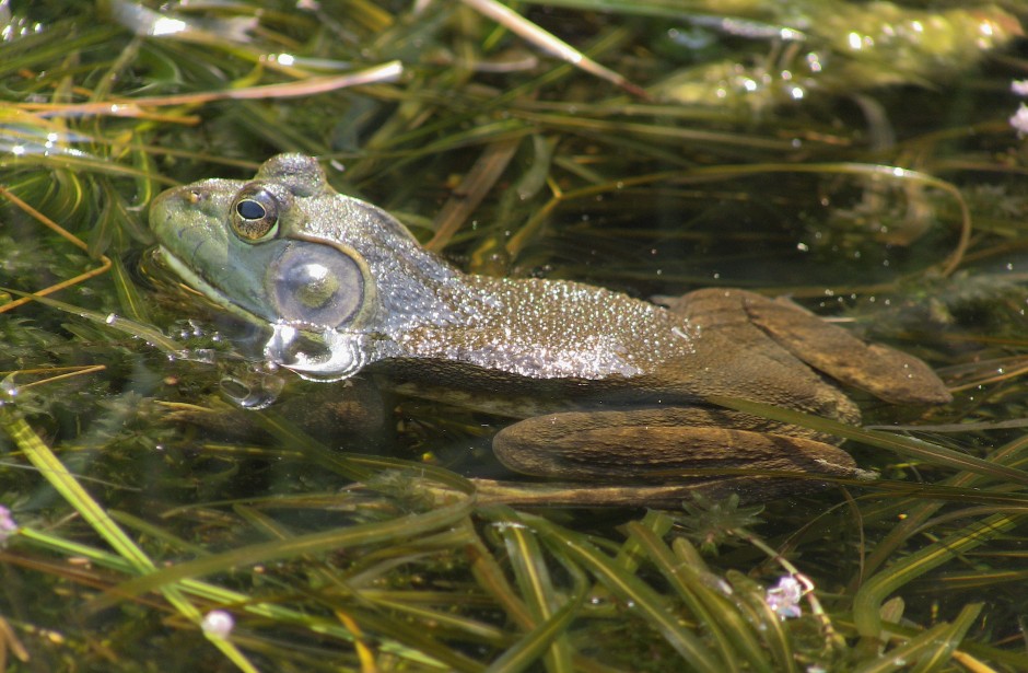
This is the west end of Penny Island, flooded with water with ducks too.
A pair of Mallard duck’s necks stretched up to see what’s going on as we entered their space.
This male mallard duck jumped into the air as I approached. It would be a good shot if all the water that is falling off it was in focus.
We checked this water out on the west end of Penny Island for awhile and when we came back out from there the wind was still blowing so we decided to go up the back channel of Penny Island to take out for the day. We mostly drifted up the back channel as the wind was blowing enough to push us.
When we got to the east end of Penny Island we stopped and took a break in the little channel there where the wind doesn’t blow. It was getting late, almost sunset time, but since I had been down there two evening in a row already, I didn’t want to wait around for sunset so we headed across the river to the take out and I shot this one last picture, just before the sun was going to go down. The wind died down just before we crossed the river to the take out which was also nice.
We were off the water at six thirty PM, so for me that was a 7 and a half hour day, time to go home and get something to eat and a nap, I’m pooped. :O)
Nice day hiking and kayaking Jenner.


