Monday June 5, 2023 Plumas National Forest CA.
Last night’s camp
We had a nice restful camp spot last night.
We get up and sit around the camp most of the morning before taking off for the days exploration.
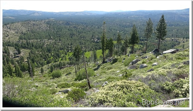
Since our camp was on a ridge top, we drove on down this road to the main road and on down the hill, headed to a big meadow.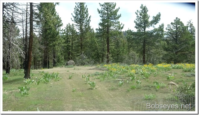
Squaw Meadow
We were headed down to this big meadow, called Squaw Valley. There’s a creek in this meadow called Squaw Queen’s Creek. We want to follow it back to the other creek we’ve been exploring to find the access points to the creek from the roads. There aren’t many access points.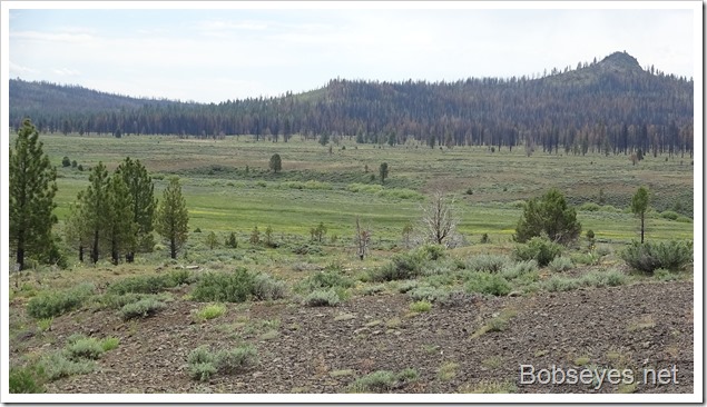
We entered the valley and stopped here to check our maps to see which way to go. We do that often.
We started heading across the valley.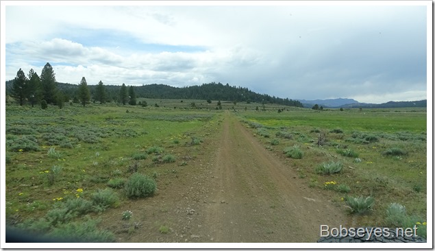
And crossed Squaw Queen’s Creek here where we stopped to have a look at it.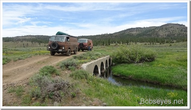
We stopped at this intersection to check our maps again and started out this road to an access point, that looked like the road crossed the creek at the access point according to the map. ………But.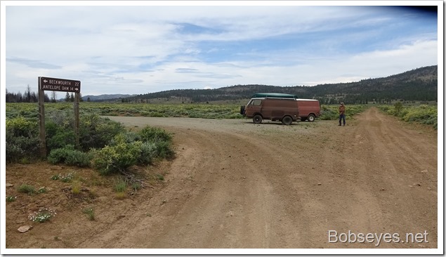
Most of the road was in pretty good shape, although a bit rocky.
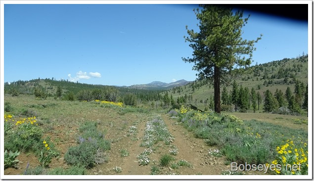
And the meadow had lots of wild flowers in it.
We always got out to check any of this kind of water crossing for mud, rocks and holes.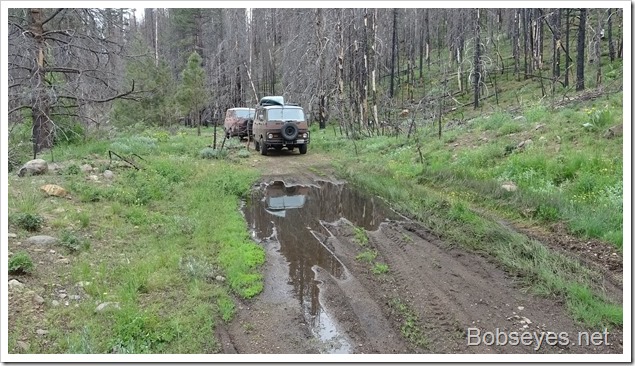
We were getting near the access point and the end of the road and the creek looked real nice.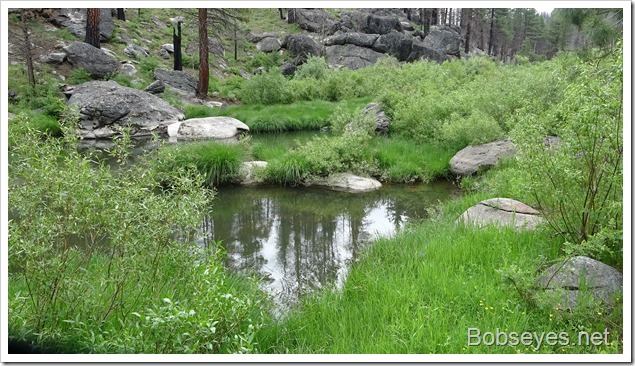
But .3ths of a mile from the access point, the road turned to this. We could make it through, but it’s just not worth the risk of breaking something, so we turned around and explored the other way.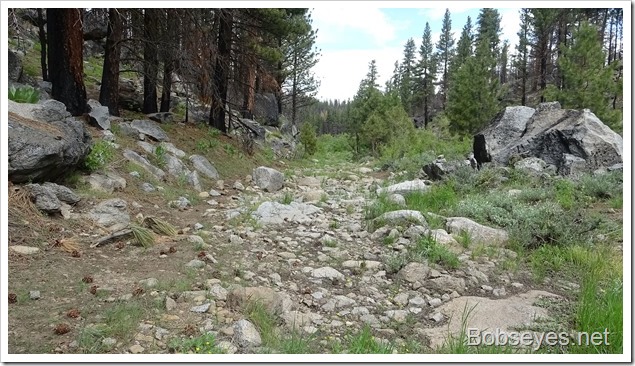
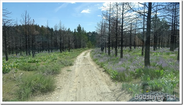
We drove back out to Squaw Valley and followed the creek there . This road looked like it was a recent fire break as it was wide but mostly in good shape until we got to the end where it turned into a creek.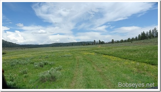
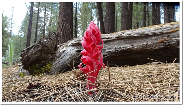
Something red
But before we got to the end, I spotted something red by the side of the road so stopped to check it out.
Dead end
The road was supposed to go on through, but it stopped when it turned into a creek which might be passible when the creek dries up later.
We were in need of a camp spot for the night so we took a little side road near the end of the main road and found this spot.
Since we entered Squaw Valley this morning, the mosquitos have been few which has been real nice.
We got out our chairs and cooked dinner before some thunder and real light rain drove us back into our vans until it stopped just before dark.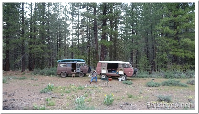
Nice day.



Thank goodness the mosquitoes let up. Do you ever zoom in with Google maps or send the drone ahead?
you should be looking for morels in those burn areas